Garmin BaseCampfor Mac
App info

Travel with comfort
Garmin BaseCamp is a highly specialized utility designed to interact with 3D maps provided by Garmin navigators. This application has tools for viewing maps, editing or planning routes if necessary, and creating notes containing information about a specific location. After editing, you can quickly load the maps back into the navigator. The application is available for macOS devices so we will tell you more about it.
Interface
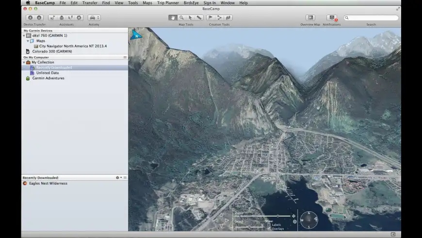
The interface of the program is user-friendly, and there are no unnecessary elements that may confuse the user. All tools are conveniently grouped in the working area of the program and will not cause difficulties even the first time you use them. It is possible to view maps both in two- and three-dimensional modes. You can change the viewpoint with your mouse if necessary. It should also be noted that Garmin BaseCamp is distributed for free.
What's great about this program?
After installing the program, you can "update" information about the data on the maps and then copy it to your Mac device. This software allows you to view 3D and 2D maps. You can use the built-in search engine to find new objects and add them to your favorites list. This feature allows you to get map data faster. The interface of the software has additional panels providing quick access to all maps.
The program allows you to quickly switch between viewing modes and see even the most miniature objects on the maps. All maps are displayed in good quality and can be scaled depending on viewing conditions and the size of things. You can create notes to points on the map to find data faster if necessary. Garmin BaseCamp for Mac also allows you to make "new paths" and enter other data into ready-made templates. The software operation is available after connecting the navigator via a USB cable. Garmin BaseCamp is a versatile tool for viewing geodata and various objects.
Primary features and functions
Garmin BaseCamp has the following features and functions:
Convenient browsing of geographical data, creating and editing tracks, routes, and waypoints;
Availability of address and object search function;
Backup of created routes;
The ability to view 2D and 3D maps;
Support for topographic data;
Free distribution.
- Convenient work with data
- Interaction between devices
- Integration with auxiliary services
- Advanced functionality
- None